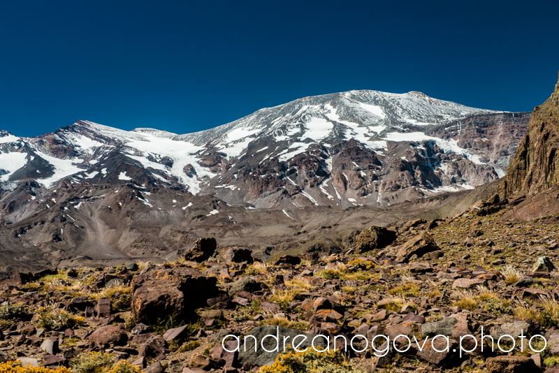
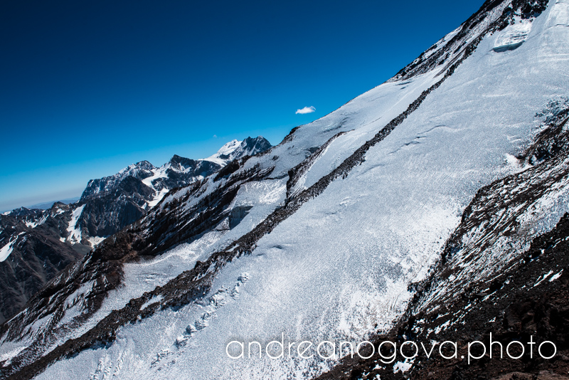
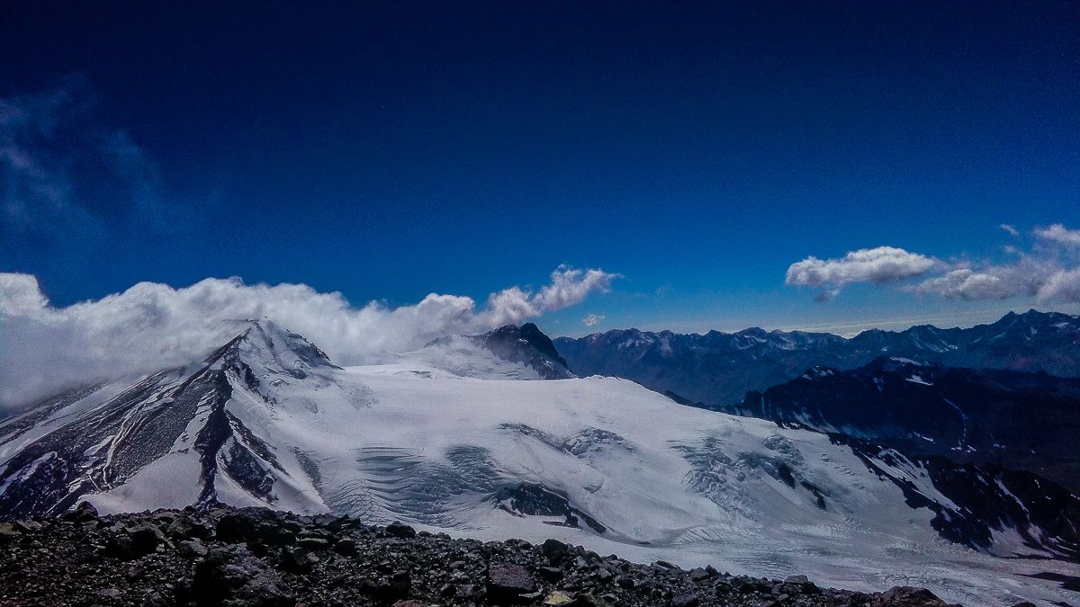
As our stay in Chile was coming to its end, we had two weeks free near Santiago. We knew just one thing – we want to spend it some mountains. High mountains. We discarded the idea of climbing Aconcagua, for Cerro Plomo there was no map, so when we saw a map with Volcán San José (5868m) and Cerro Marmolejo (6144m), there was only one question remaining – which one of them? We have chosen Volcán San José.
Attempt 0 – Acclimatization
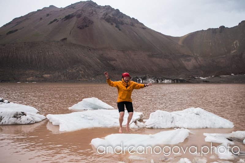
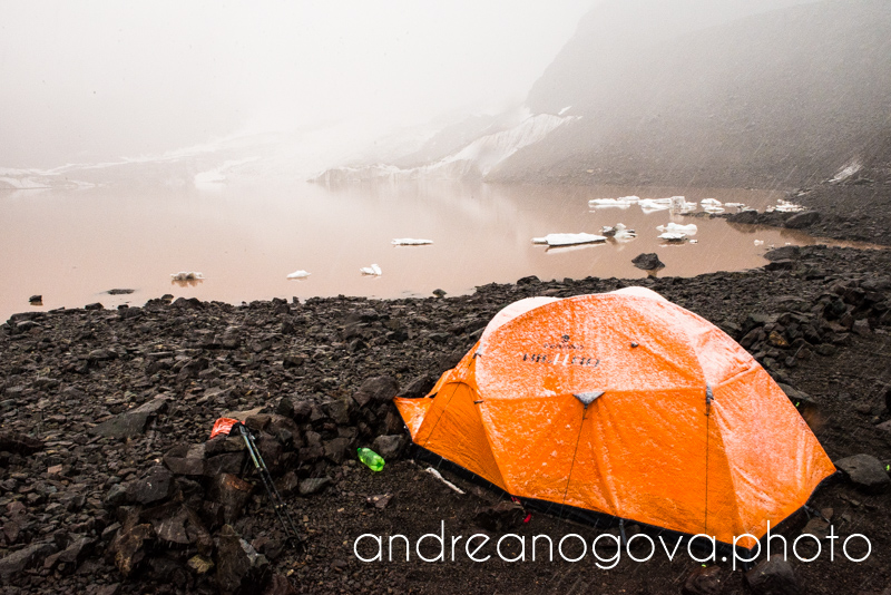
For acclimatization we have chosen the other valley, Cajón del Morado. Lake at 3000, peaks over 4800 over the lake with trails to the top seemed to be perfect for acclimatization. At least on the map. Well, local water contains a lot of diluted metals, so the lake was dark brown, with glacier falling into it and with floating icebergs.
We set off for our chosen mountain. The trail very soon turned into scramble, which turned even sooner into rock and our trip turned into serious rock climbing. We did not wait for anything, headed back towards the lake and climbed some lousy 3600m peak around. We went ankle deep in sand and volcanic ash, and at the top we were surprised by a blizzard. The lakes has frozen overnight, our tent was under thick snow cover, and Andrea’s pants (which were drying off overnight) had to be bent several times in order to fit into backpack.
1st Attempt – in one stretch
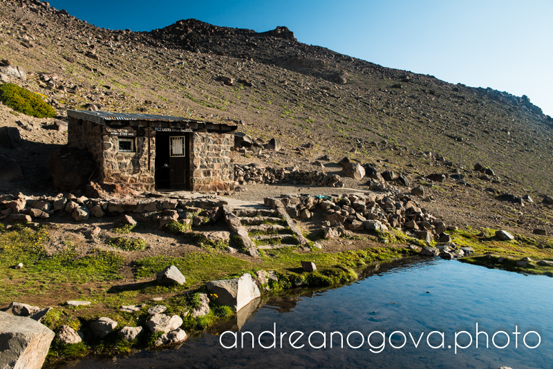
We moved to Plantat mountain hut at 3170m, from were we planned to attack the summit. We could have gone in expedition style, progressively build camps, as all other climbers. But to trek for a few hours a day, with a lot of baggage, build and dismantle a tent and acclimatize in the meantime (i.e. wait), I do not fancy this style. Se we opted to go in one stretch, light and fast.
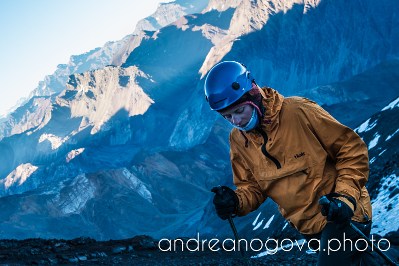
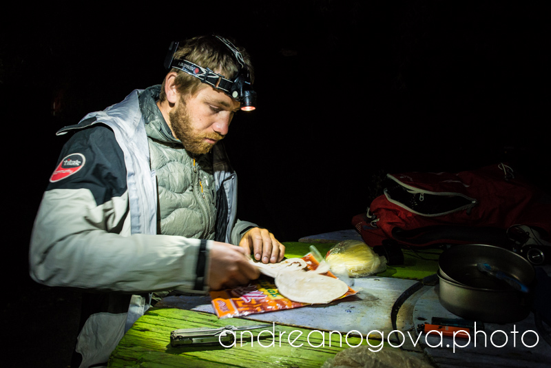
At 3 AM we left the hut and started to climb. Trail was very indistinct, cairns infrequent, we had to slow down many times and scout for them. More often than not we were saved by my new LEDLENSER headlamp with its strong focused beam. At dusk we are at four thousand, it’s really chilli and we are looking forward to some sunshine. Still no sunshine, we are trying to reach it as hard as we can, but there is some stupid mountain keeping us in the shadow. Yes, the mountain, we are trying to climb.
No sooner than at ten we finally get on a ridge and get some warmth from first sun rays. At that time we are over 4700, tackled some difficult and steep scrambles and are breathing heavily. Soon after that Andrea is done and it is clear that we will not summit today. We round the altitude at 5000, have a rest for a while and turn back. And it was a good decision. Initial expectation, that the descend will be fast and easy, was wrong. We took 9 hours up, 6 hours down, today it was juicy trip. We refuel, recover and rest. We are running out food and so it is clear we have to descend the next day. I let Andrea rest properly and sleep longer, it was a hell of an effort, but I feel sorry to leave like that, so I go for another attempt, this time alone. Fenix GPS track from our first attempt.
Attempt 2 – Embarrassing
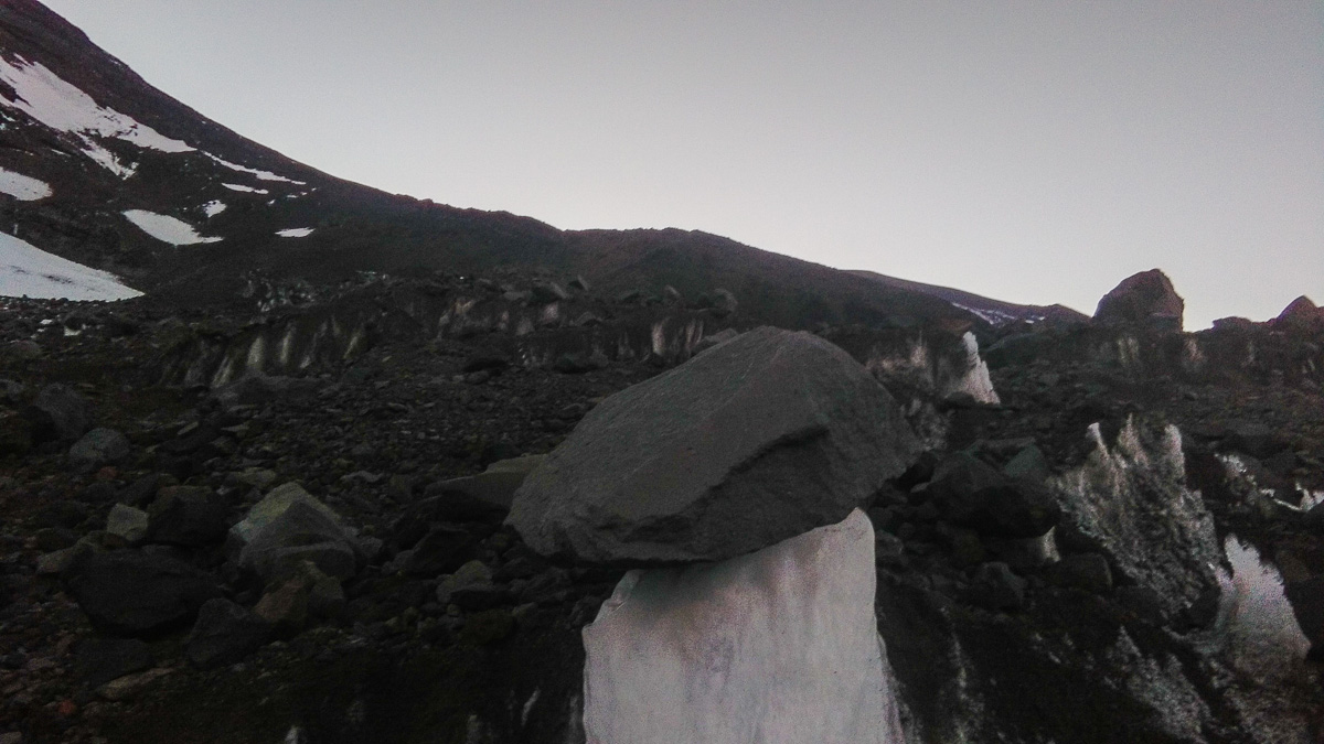
I got up at 3 AM again, locate the cairns much faster, I go on a known trail, until I have no idea where I am. Everything seems to be steeper, scramble is more unstable and falls much faster. It takes me quite a time before I am horrified to realize where I am. I am on a glacier! I can’t get any higher and in fact I don’t want to try this way, so the only way is down, back to 4000, it is dusk again and I find the key place where I had made a mistake. I climb a bit more, then the route is clear. But it is also clear, that I cannot make it today in agreed time, so I turn back down right away. Fenix3 GPS track from second attempt.
Now I know the way and I don’t want to leave empty-handed. What is more, super-stable weather should last for several more days. We talk about it in the hut an we conclude a devilish plan: We go down to Santiago, refuel, restock, regroup and get back here so I can go for it seriously for the third time. I shall go for a FKT. But not from Plantat hut at 3170m, from where it is some 26km there and back, but from Banos Morales at 1900m, from where it is some 56km there and back. If you cannot make it from the hut, let’s make it longer and harder. That makes sense!
Attempt 3 – Successful
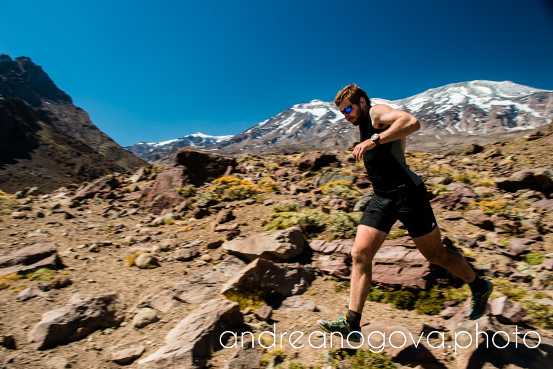
I start at 1:30 AM and everything goes according to the plan – the hut, the key place, snow field and around 8 I finally get on a ridge and have my personal hell there. Suddenly I feel the altitude, I feel terrible and my fingers are freezing. I have my warmest mitts, that have ALWAYS helped me, not this time. My last security is shaken. I go as slow as sloth, but when I reach 5000, what a change! I catch a rhythm, I go steadily as well-maintained machinery, some parts I can even run.
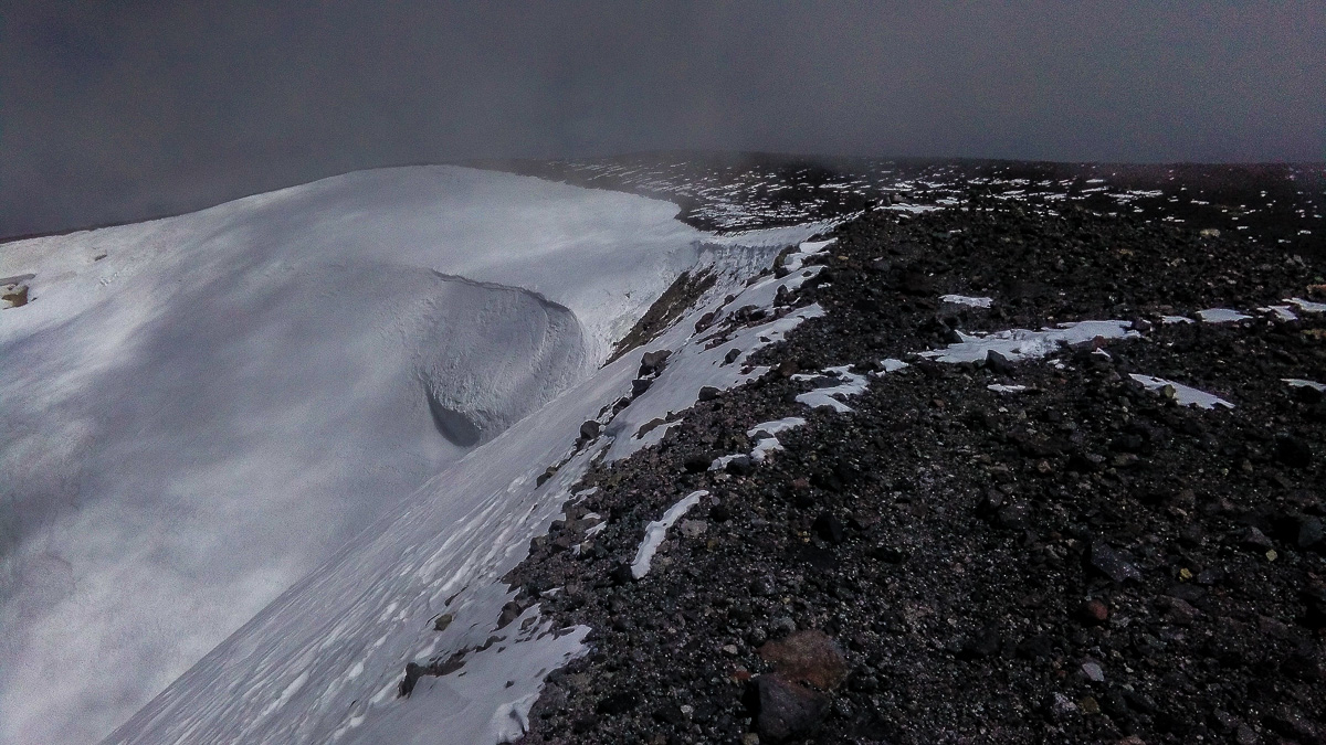
Almost there… and there is a crater! What a hole! I am not sure which peak is the right one, so I go around the entire crater, right? No. Single crater turns in triple crater, but I am safely on the highest point.
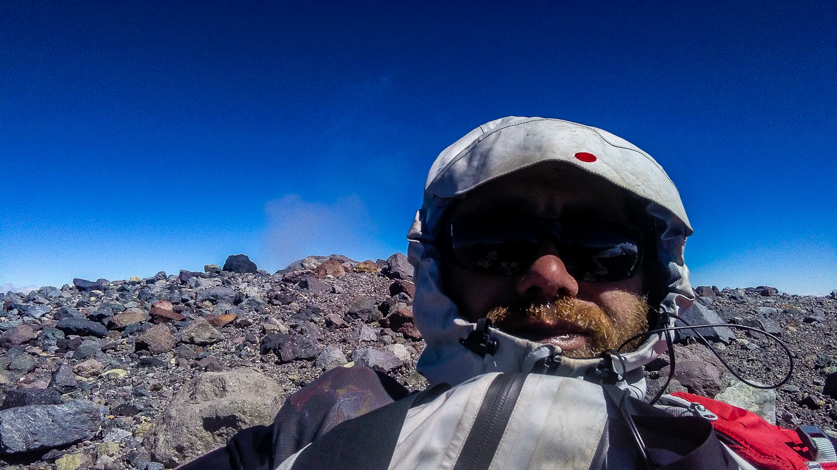
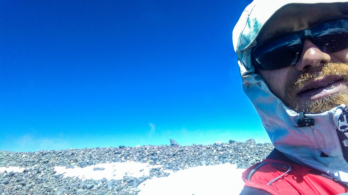
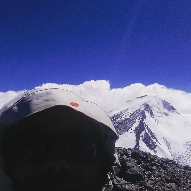
Summit photos are real struggle. It’s extremely hard to take pictures in such a strong wind and in the warmest gloves – on a smartphone. First of all – it’s very hard to unlock the phone, and even harder to keep it unlocked. So most of the photos are taken lying on the ground, covering from the strong wind, and trying to shoot as much shots as possible in the shortest possible time – yes, my fingers are freezing again.
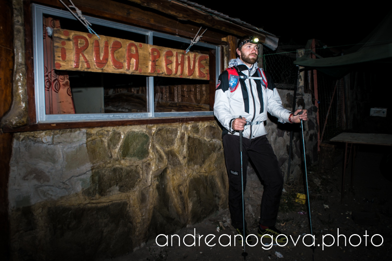
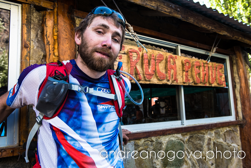
But the descend is very rewarding, especially the upper part. Weakness is forgotten and I can run in 5800, so my fingers are my once again. I slide the snow fields with joy, but in the scrambles I took it to much few times so my Stinger jacket, elbow and knee suffered some extra holes. I can feel how numb I am and the proprioception is not what it used to be. At the hut I switch into short clothes, last 15km are full of heat, thorns, dusty road and no shadow. In 15 hours and 57 minutes I am back at the same place, where I started in the morning – at the Ruca Pehue hostel, centre of all local Andinists. Yeah, Andinists. We have Alps in Europe, so we have alpinism. They have Andes in South America, so they have andinismo. Simple. Fenix3 GPS log from my third attempt
Factors for success
To the success of this event several factors have contributed:
- Good acclimatization, preparation and subsequent knowledge of the route (well, for the third I could take the right way).
- Good timing – at the key points I was just in time, neither too soon, nor too late.
- Right equipment – here I have to highlight three pieces of gear: LEDLENSER headlamp, which saved me mainly during first and second attempt, Tilak Stinger jacket, which protected mi in the summit parts (and previously in Patagonia) and Ferrino X-Cross 12 backpack. This pack had to handle the fact, that I started in the night more or less in warm conditions, up there was very cold and windy, my fingers are very sensitive to coldness while on the way back the heat came and I had to put all the staff in the pack or somehow attach it to it, and stay firm on my back at the same time. It handled it exceptionally well.
- Andrea and her patience, when I came up with this silly undertaking.
Attempt X – Czech Machine Runs England
Even though this action has a sense on its own, I take as a mere one more step closer to my biggest action this year – FKT on 430km Pennine Way in England – „Czech Machine Runs England“. You can read more and support him here.
The post FKT Volcán San José – if you can’t make it, make it harder appeared first on Pavel Paloncý – Adventure racing, ultratrail, rogaining a podobně.
